CHARACTERIZATION AND MAPPING OF PEATLANDS IN THE ECUADORIAN ANDES
CHARACTERIZATION AND MAPPING OF PEATLANDS IN THE ECUADORIAN ANDES
START – END DATE: May 2020 – December 2024
STATUS: On-going project
PRINCIPAL INVESTIGATOR: Esteban Suárez (USFQ Researcher and Professor)
LOCATION: Ecuadorian Andes
PROJECT DURATION: 66 months
FUNDING: US Forest Service, USFQ
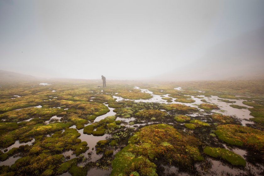
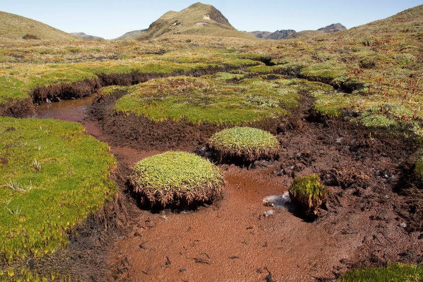
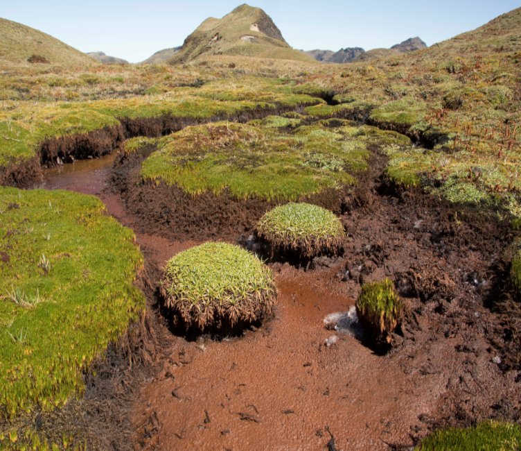
Paramo peatlands are critical ecosystems with a strong ecological and environmental importance. On the one hand, they represent a unique component of biodiversity due to the presence of numerous species adapted to flood regimes. On the other hand, they store large amounts of carbon, contributing to mitigate the effects of climate change and to have a leading role in the regulation and storage of water that serves millions of people. These characteristics are exacerbated in the case of paramo peatlands, in which average levels of carbon storage of 2000 MgC / ha. have been reported. But despite the importance of these paramo peatlands, we still know very little about their extension and distribution, a gap that becomes more important because traditional vegetation maps tend to underestimate the surface area of this type of ecosystem. In this context, the objectives of this project are to: 1) Make a map of paramo peatlands at a national scale 2) Characterize the general types of paramo peatlands and their conservation status in Ecuador 3) Quantify carbon storage in paramo peatlands of Ecuador.
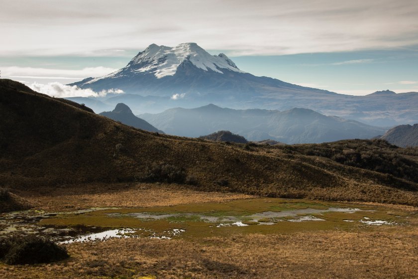
As part of this project, the first map of peatlands was drawn up for the paramo that surrounds the city of Quito, including the high areas of the Cayambe-Coca and Cotopaxi National Parks, and the Antisana Ecological Reserve, together with its areas of influence. Based on the methodology that was developed in this first stage, we are currently conducting the field phase to extend this mapping exercise to the entire territory of the Ecuadorian paramo.
Researchers
Publications
- Four scientific publications to date:
| Year | Title | Authors | Document |
|---|---|---|---|
| 2017 | Estimating belowground carbon stocks in peatlands of the Ecuadorian páramo using ground penetrating radar (GPR). Journal of Geophysical Research Biogeochemistry. 122: 370-386. DOI: r10.1002/2016JG003550. | Comas X, Terry N, Hribljan JA, Lillieskov EA, Suárez E, Chimner RA, Kolka RK. | Download |
| 2017 | Multi-date, multi-sensor remote sensing reveals high density of carbon-rich mountain peatlands in the páramo of Ecuador. Global Change Biology. DOI: 10.1111/gcb.13807. | Hribljan JA, Suárez E, Bourgeau-Chavez L, Endres S, Lilleskov EA, Chimbolema S, Wayson C, Serocki E, Chimner RA. | Download |
| 2017 | Carbon dioxide and methane fluxes in grazed and undisturbed mountain peatlands in the Ecuadorian Andes. Mires and Peat 19: 1-18. | Sánchez, ME, Chimner, RA, Hribljan JA, Lilleskov EA, Suárez E. | Download |
| 2016 | Peatland carbon stocks and accumulation rates in the Ecuadorian páramo. Wetlands Ecology and Management. 24:113-127. | Hribljan JA, Suárez E, Heckman KA, Lillieskov EA, Chimner RA. | Download |

